Description
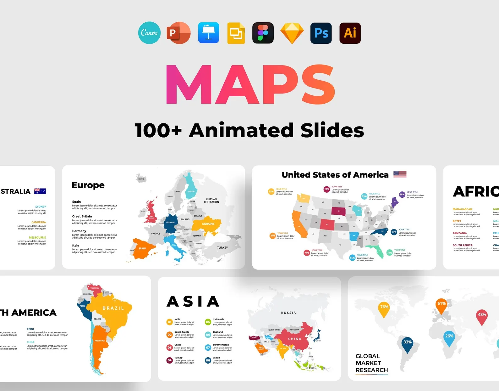
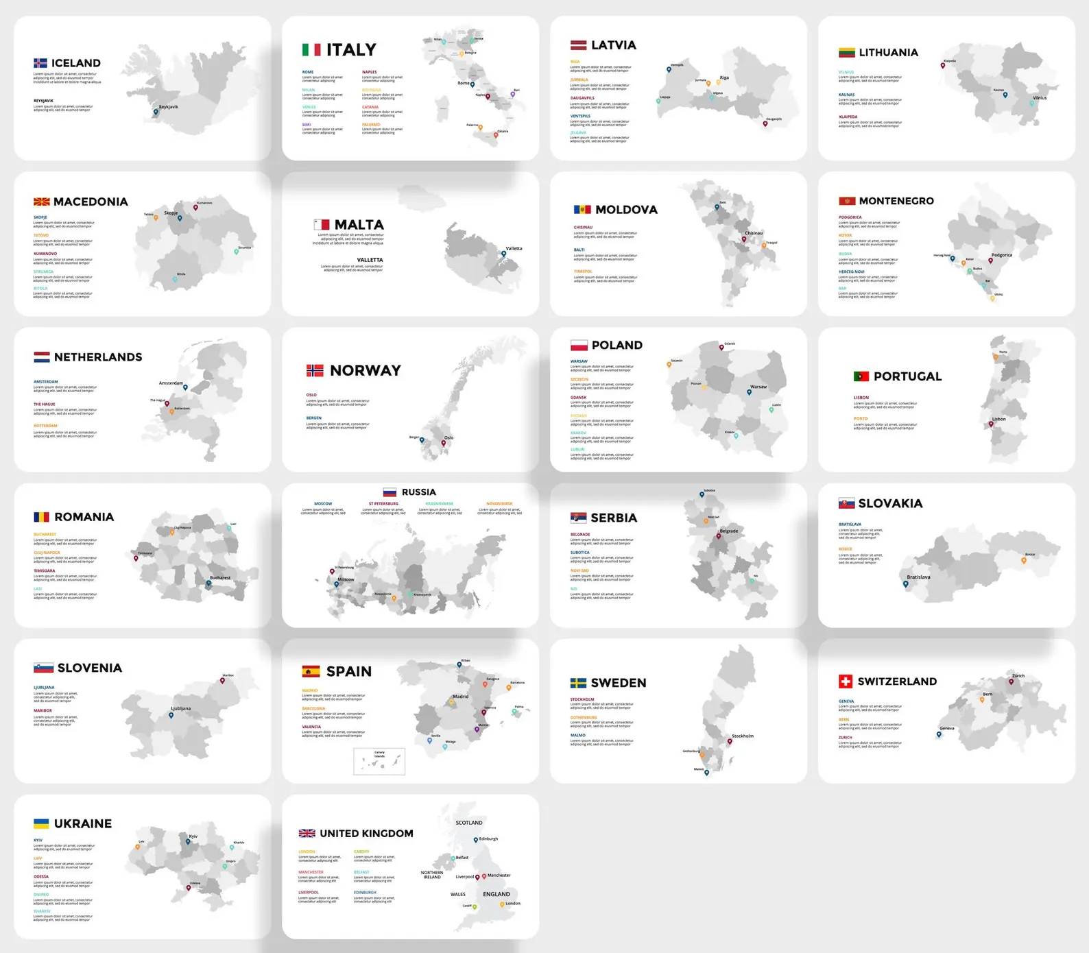
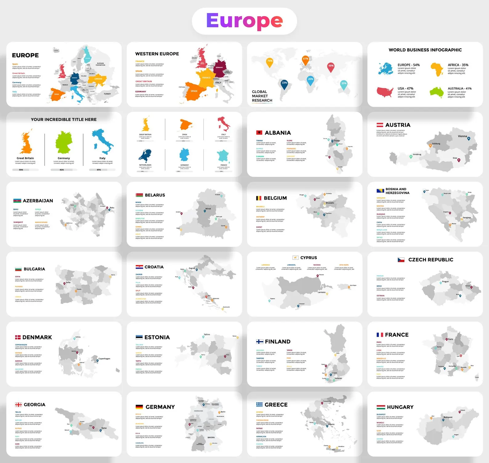
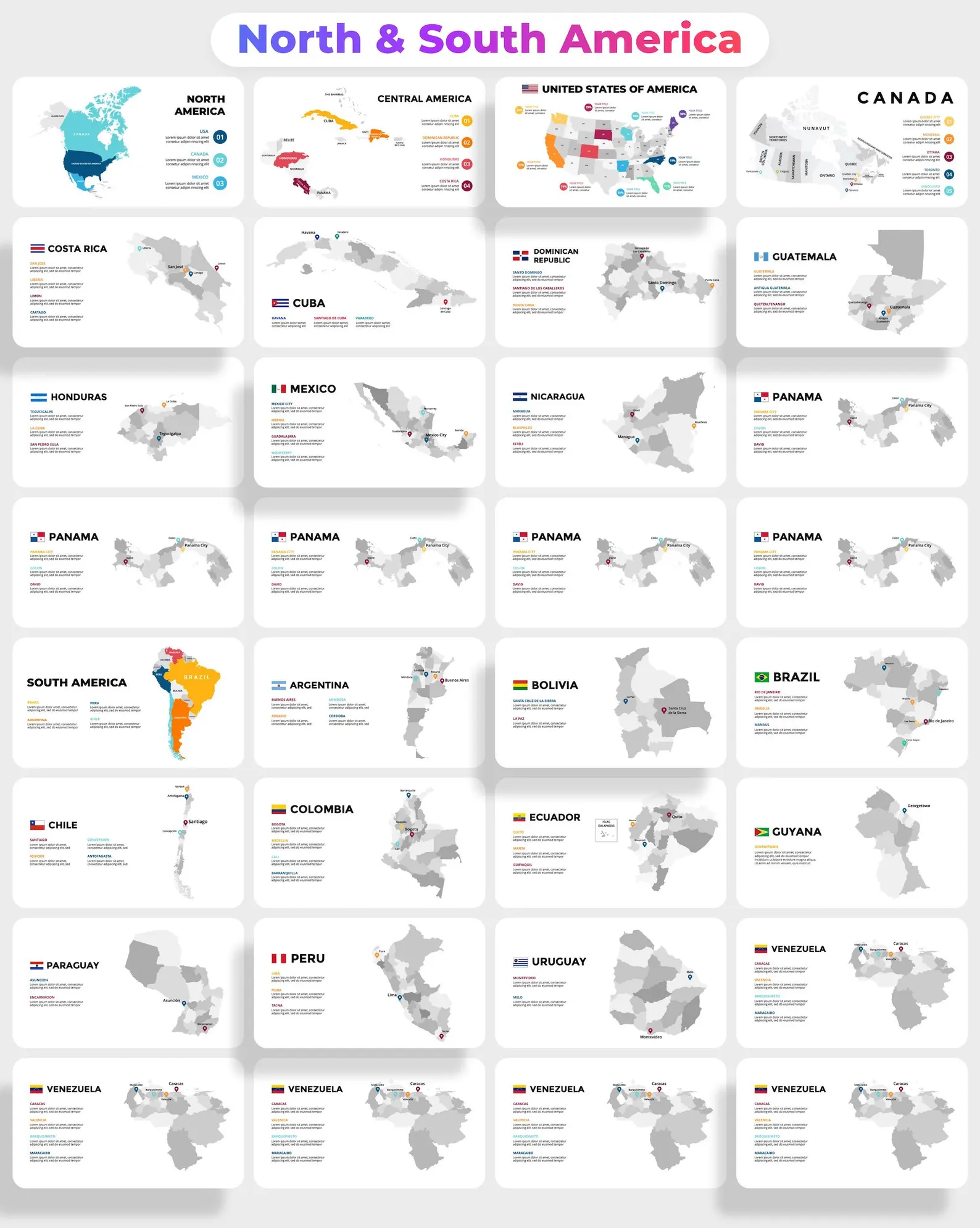
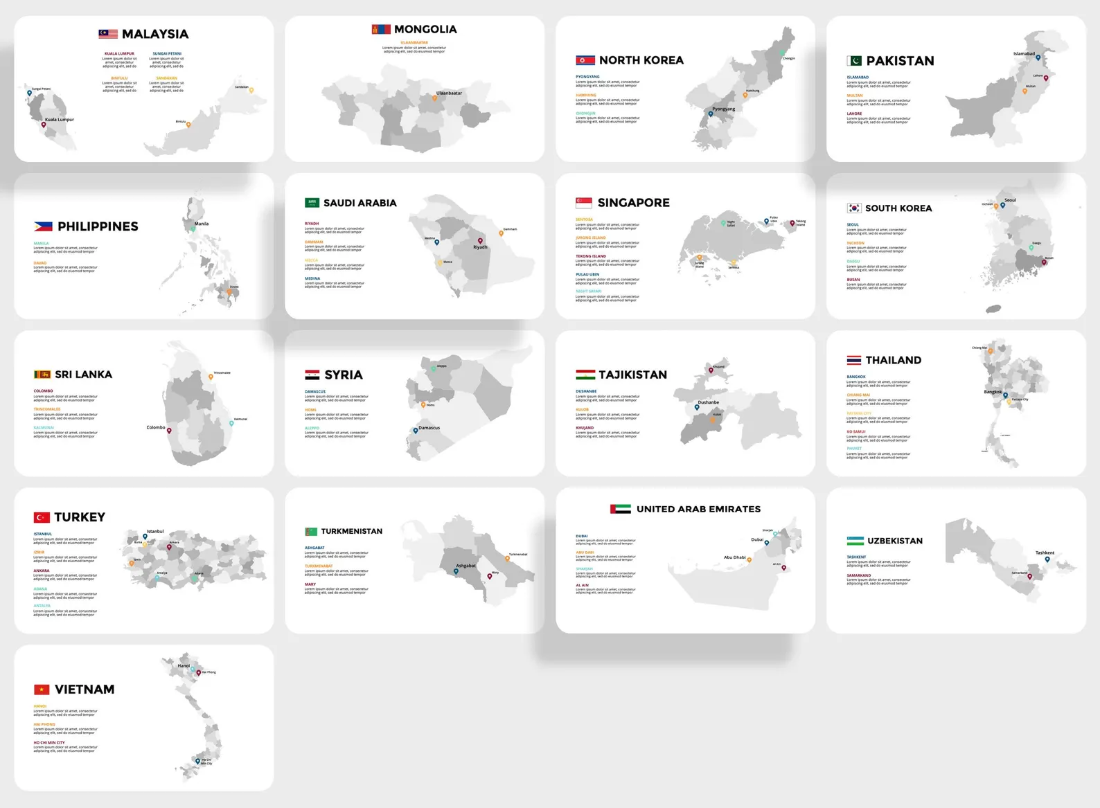
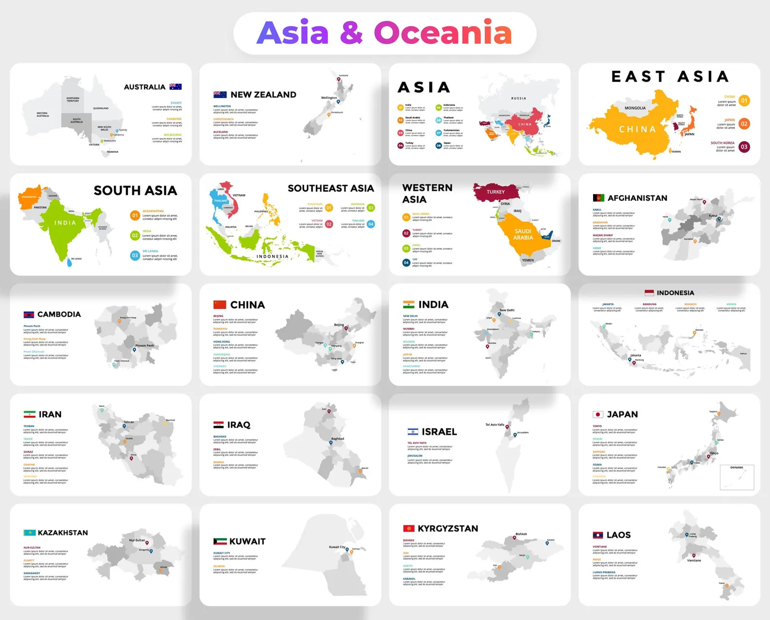
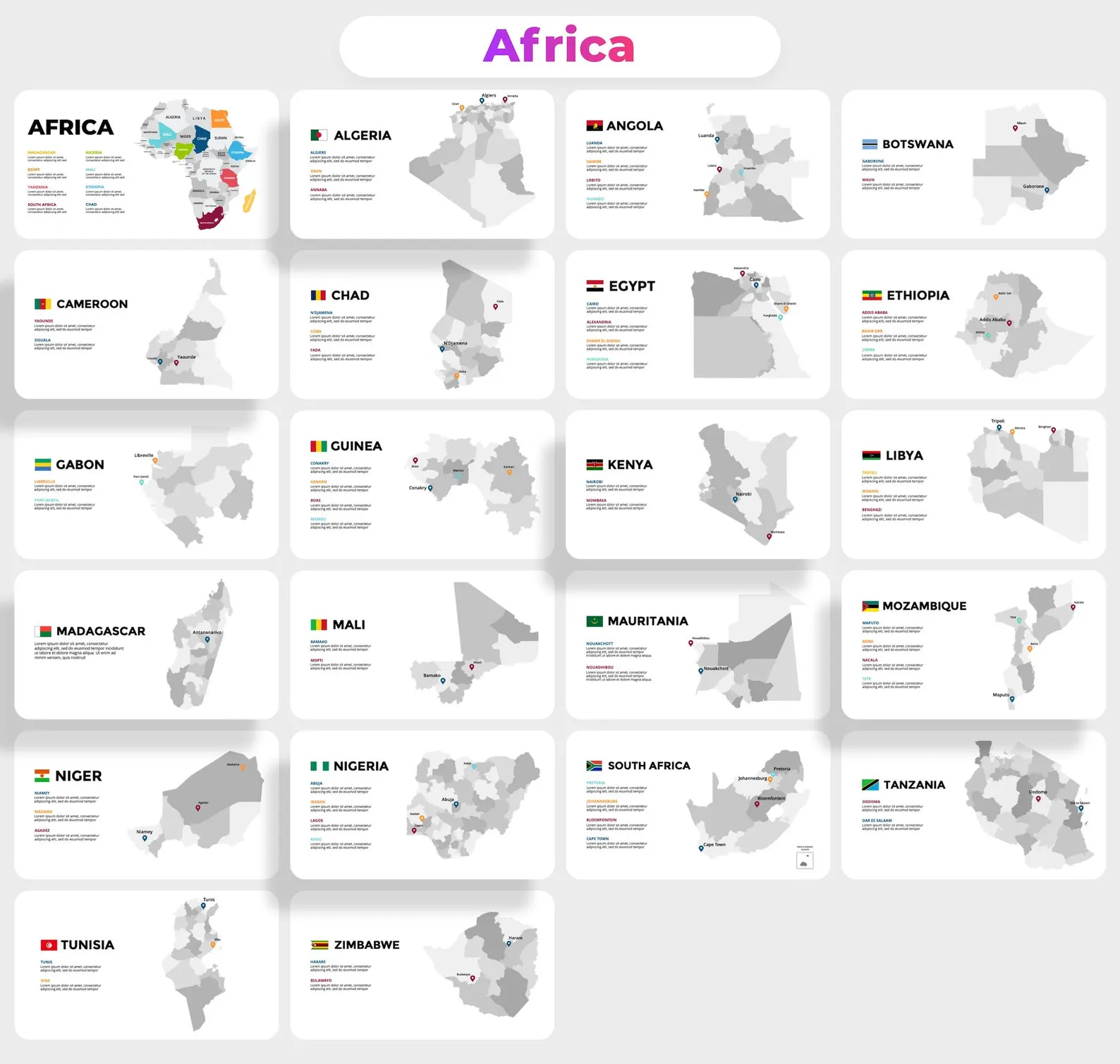
Explore the world with the Maps Presentation Templates & PowerPoint Infographics Pack – a comprehensive set of editable slides featuring maps of 130 countries, including the USA, Europe, Asia, Australia, and more. This collection is ideal for creating professional presentations with detailed geographic data, perfect for educators, business professionals, or anyone needing precise geographic visuals.
Compatible with PowerPoint, this pack is versatile for presentations on global economics, market research, or geography lessons. Each country is divided into provinces, with major cities marked for clarity, and includes both a world map and maps of all continents.
Key Features:
- Maps of 130 countries with flags
- Fully animated slides
- Free icons pack
- Vector-based objects
- Editable text and fonts (free download links provided)
- 16×9 aspect ratio
- Free updates & quick customer support


Reviews
There are no reviews yet.